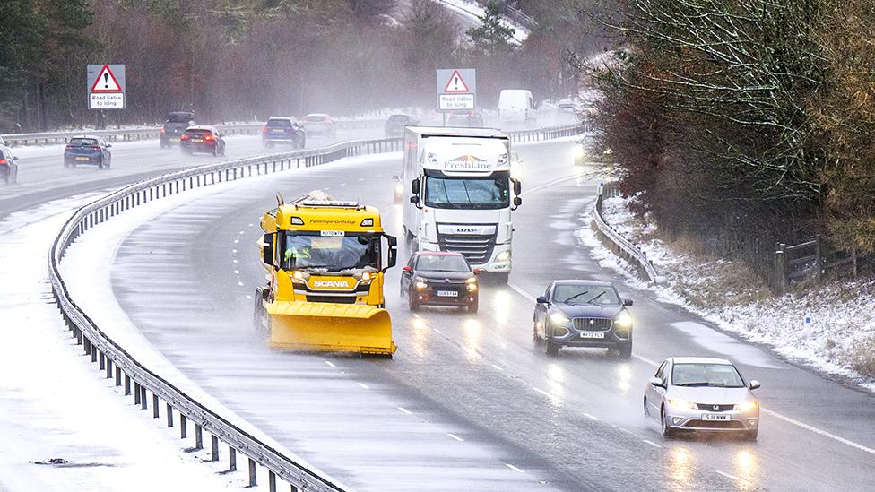
Bitterly cold weather set to ease across the UK
- Published
After what has been the most significant cold spell of this winter so far, temperatures are finally due to start rising this weekend.
High pressure will build in across the country with its centre gradually moving to the east of the UK. This will bring mild south-westerly winds to all areas by the time we move into next week.
The seasonal chill has brought huge amounts of disruption and the blanket of snow in some areas has resulted in stranded cars, school closures and the suspension of flights from various airports.
The low temperatures and icy conditions have added to the surge of hospital admissions, on top of an already crippling wave of flu admissions.
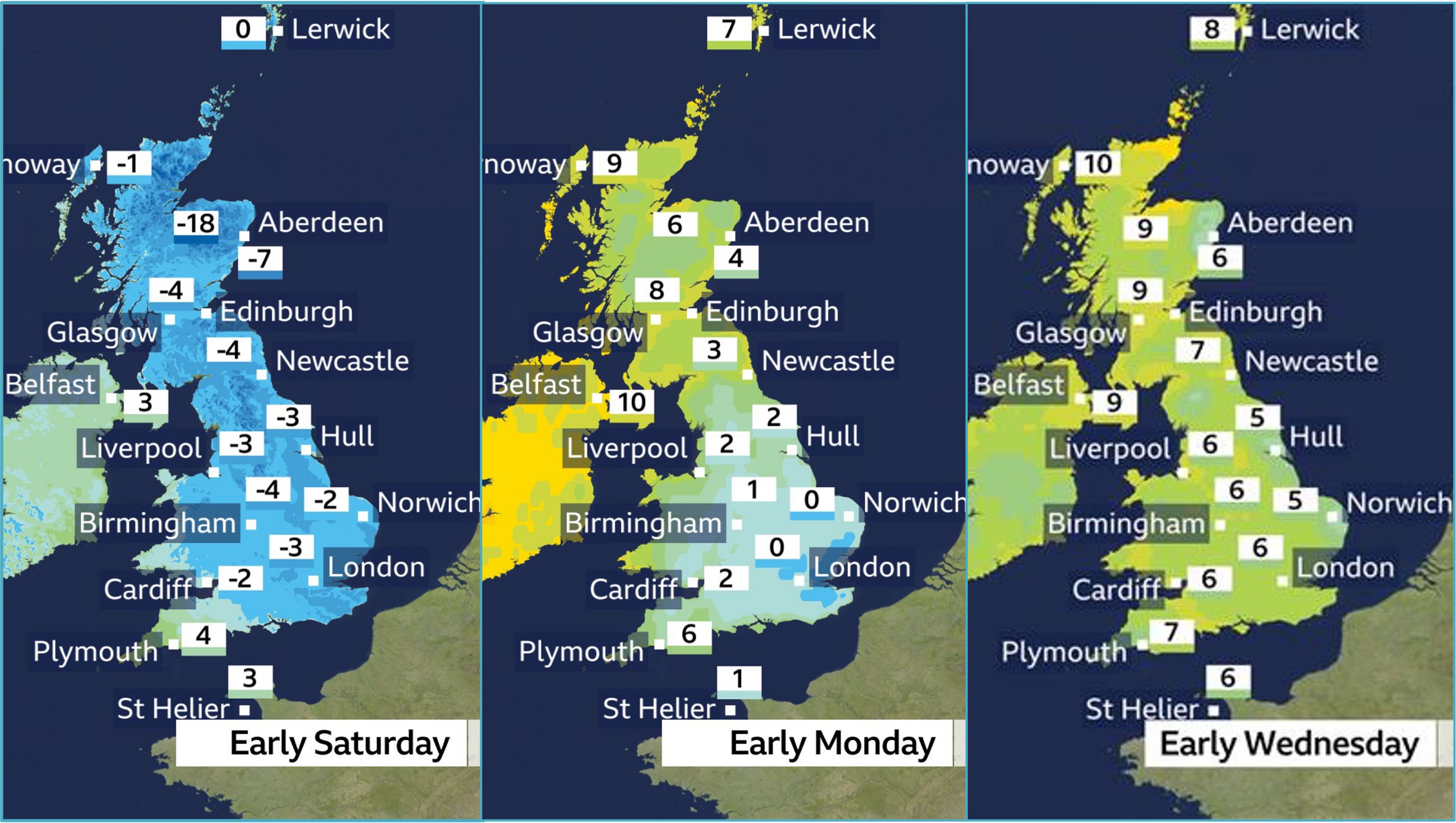
Frost free mornings are expected for most by mid-week
For now another very cold morning is expected in eastern areas on Saturday with a low of -15C to -18C possible in parts of north-east Scotland, but less cold air will already be edging into some western parts of the UK.
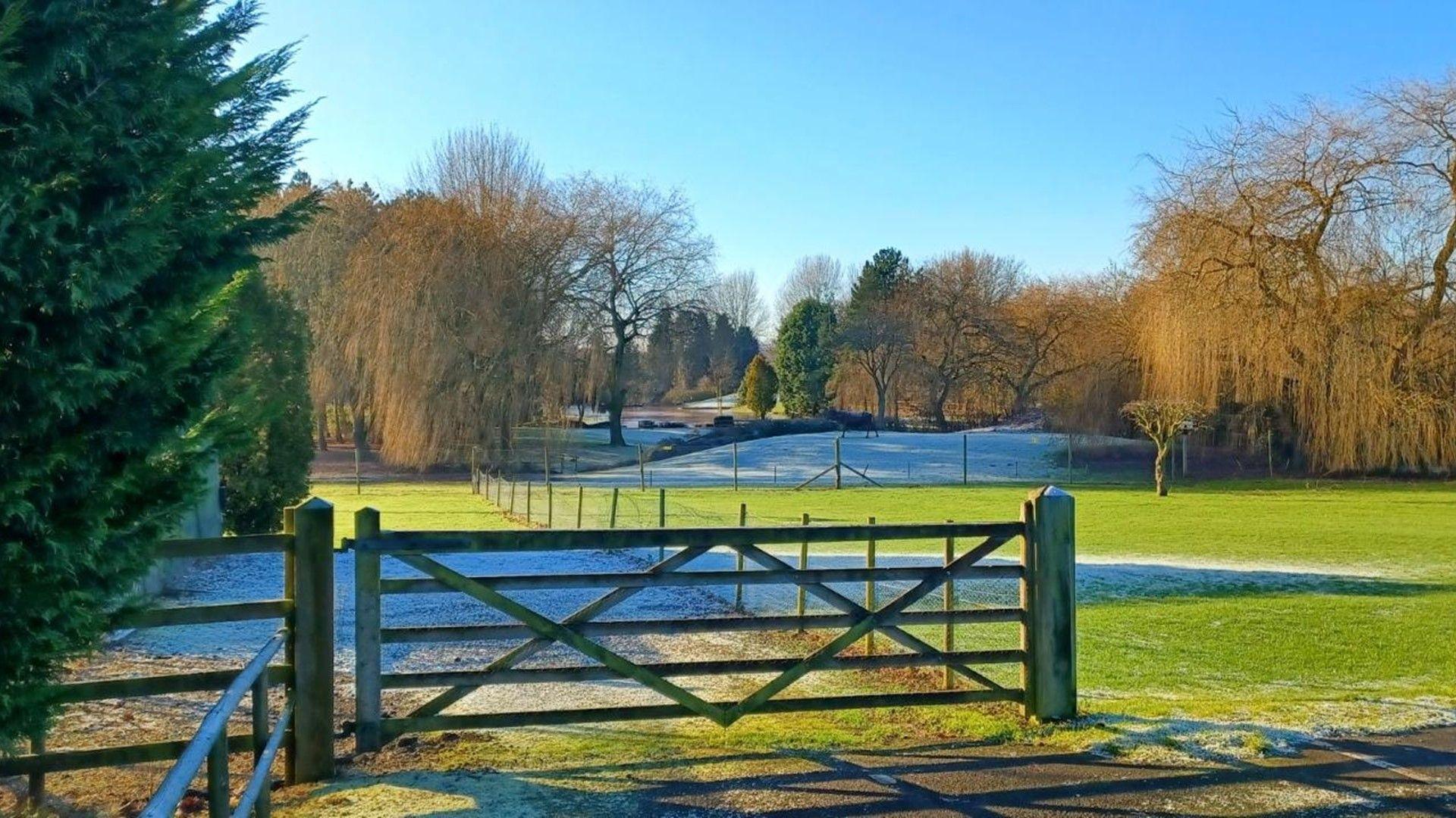
Temperatures will only slowly recover across the country with central and eastern parts still likely to remain cold with morning frosts on both Saturday and Sunday.
Scotland and Northern Ireland will see the fastest rises with temperatures ending up above average for January by Monday. This will lead to a significant thaw of all the snow and ice that may lead to higher river levels and a risk of flooding in places.
The changes in England and Wales will be slower but milder air should arrive by around Tuesday.
Much like Scotland, local flooding is possible in parts of northern England as snow and ice melts – especially from the Pennines.
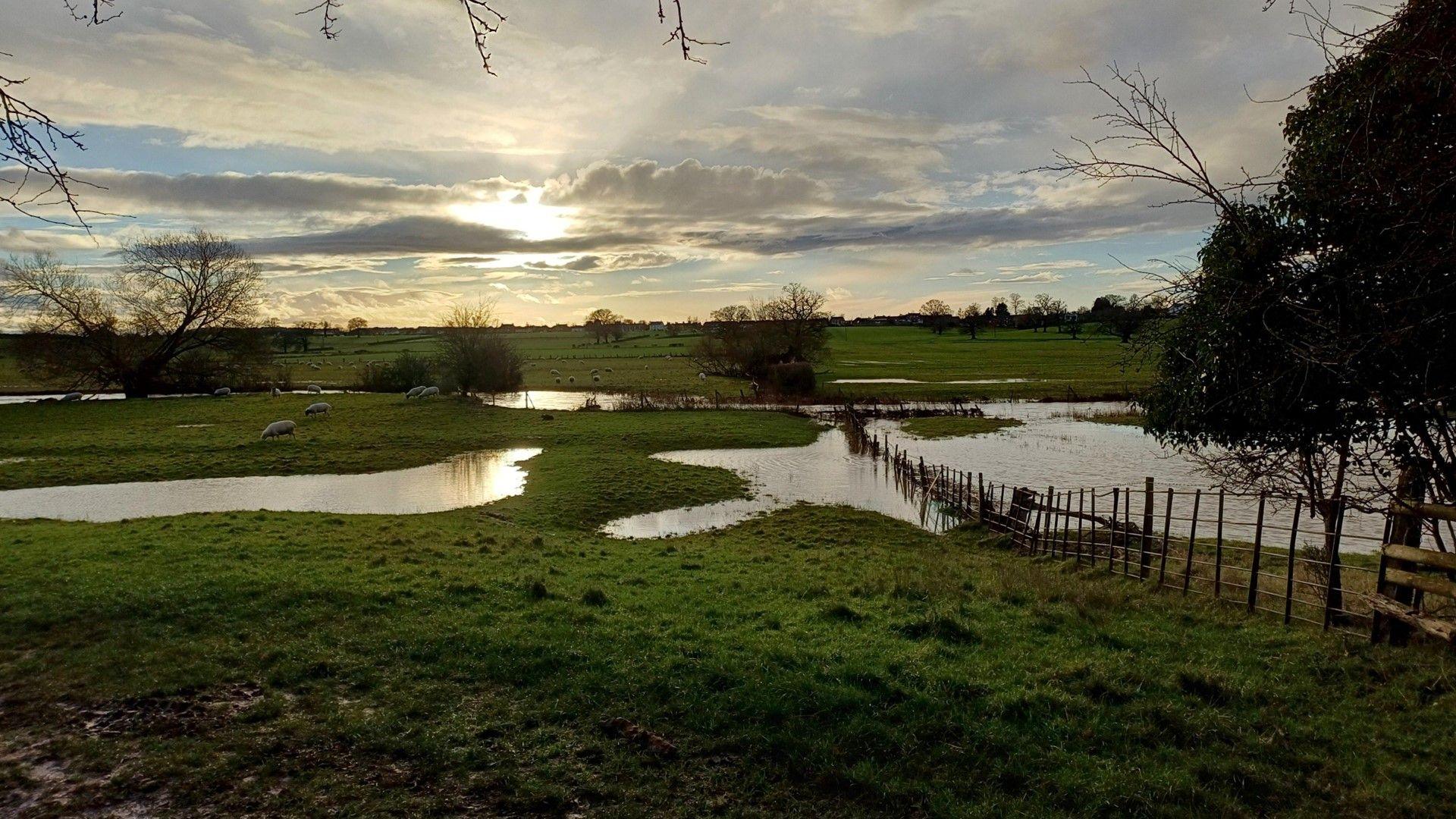
Ice and melting snow could lead to localised flooding as temperatures begin to rise
Why has it been so cold?
With the jet stream mainly placed to the south of the UK, and low pressure systems either crossing us or anchored to the east, a northerly airflow has dominated.
This has meant a near continuous feed of cold Arctic air across the country and resulted in any precipitation falling primarily as sleet and snow.
Even the feed of milder air at the weekend which brought rain, a thaw and widespread flooding to parts of England and Wales was temporary and quickly replaced by plummeting temperatures.
Clear skies and lighter winds overnight have then seen widespread and sharp frosts develop. Add this to the fact that the nights are still longer than the days in January, and for many each subsequent night has got a bit colder.
A covering of snow on the ground has effectively acted as an additional chilling mechanism for some areas too.
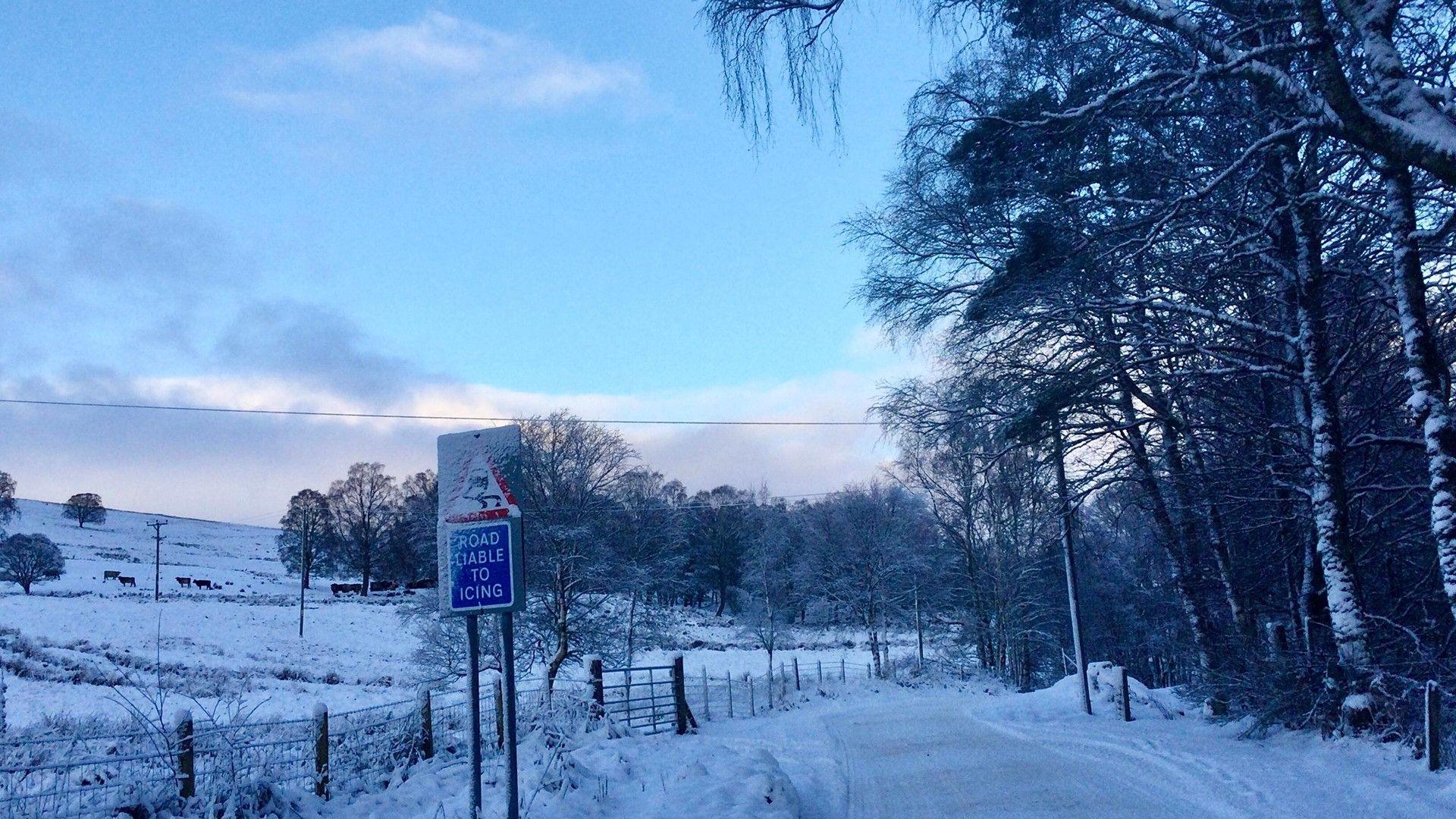
Much of the north and west of the UK has been blanketed with snow
Has the cold weather been unusual?
We are creeping towards the middle of winter so cold spells like this are fairly common.
Some of the lowest temperatures recorded across the UK are generally during periods of cold Arctic weather, or where calmer conditions and lighter winds follow one. Areas where snow is lying on the ground will see the temperatures fall the most.
We had a similar cold snap last January and we are still a long way off these existing UK temperature records:
SCOTLAND -27.2C (Braemar, Feb 1895 & Jan 1982, Altnaharra Dec 1995)
ENGLAND -26.1C (Newport, Jan 1982)
WALES -23.3C (Rhayader, Jan 1940)
NORTHERN IRELAND -18.7C (Castlederg, Dec 2010)
However, we are also possibly getting less used to such cold spells overall.
According to the Met Office the number of days in which we see the temperature fall below zero has decreased due to our changing climate. In its recent State of Climate report it found that in the last decade there were more than two weeks fewer days of frost compared to the average between 1961 and 1990.
More recently, December 2024 was a mild month for all with many fewer frosts than we would normally expect.
- Published10 January 2025
